Topographic Survey / Subsurface Utilities Survey
We specialize in providing high-quality and comprehensive topographic survey and utilities survey services tailored to meet the unique needs of our clients. Whether you're planning a construction project, land development, or utility infrastructure upgrades, our team of skilled professionals is here to ensure precision and accuracy in every survey.
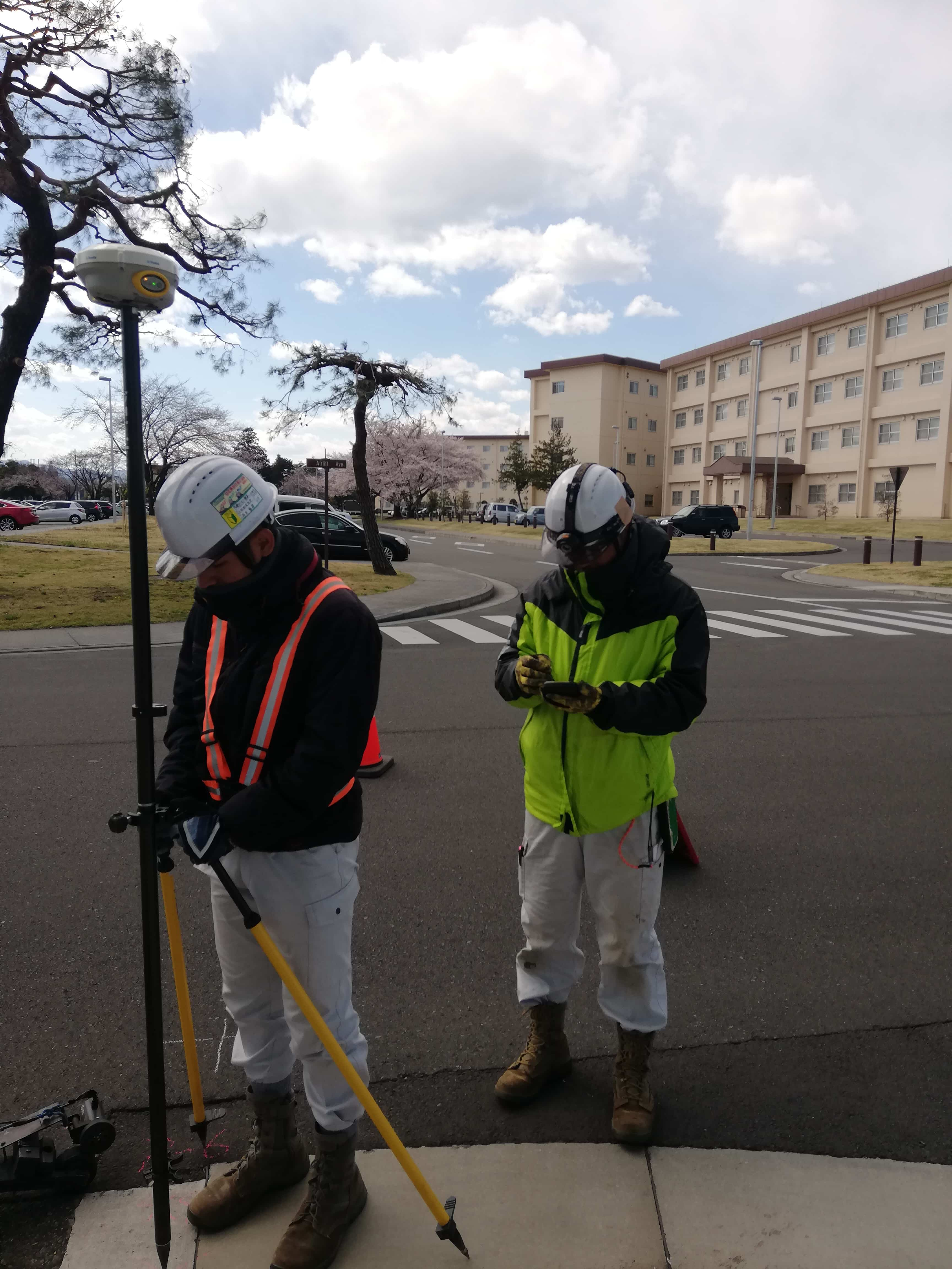
- Topographic Surveys: Our topographic surveys offer a detailed representation of the natural and man-made features of a given area. Using state-of-the-art technology, we capture elevation data, contours, and surface details, providing you with the critical information needed for effective project planning and design.
- Utilities Surveys: Understanding the complex network of underground utilities is essential for any construction or infrastructure project. Our utilities surveys employ advanced techniques to locate and map utilities, minimizing the risk of costly disruptions and ensuring a smooth project execution.
- Subsurface Utilities Engineering (SUE): We offer comprehensive subsurface utilities mapping services, ranging from Level D desktop map reviews to advanced Level A SUE services, which include Ground Penetrating Radar (GPR) and test pit investigations.
At GDI Engineers, we go beyond inspections – we safeguard your vision with a commitment to excellence. Explore how our specialized services can elevate your construction projects to new heights.
Contact us today to discuss how we can contribute to the success of your next endeavor.
Contact us to Learn More about our Topography Services